About me
From hand-drawn maps to planet-scale software.
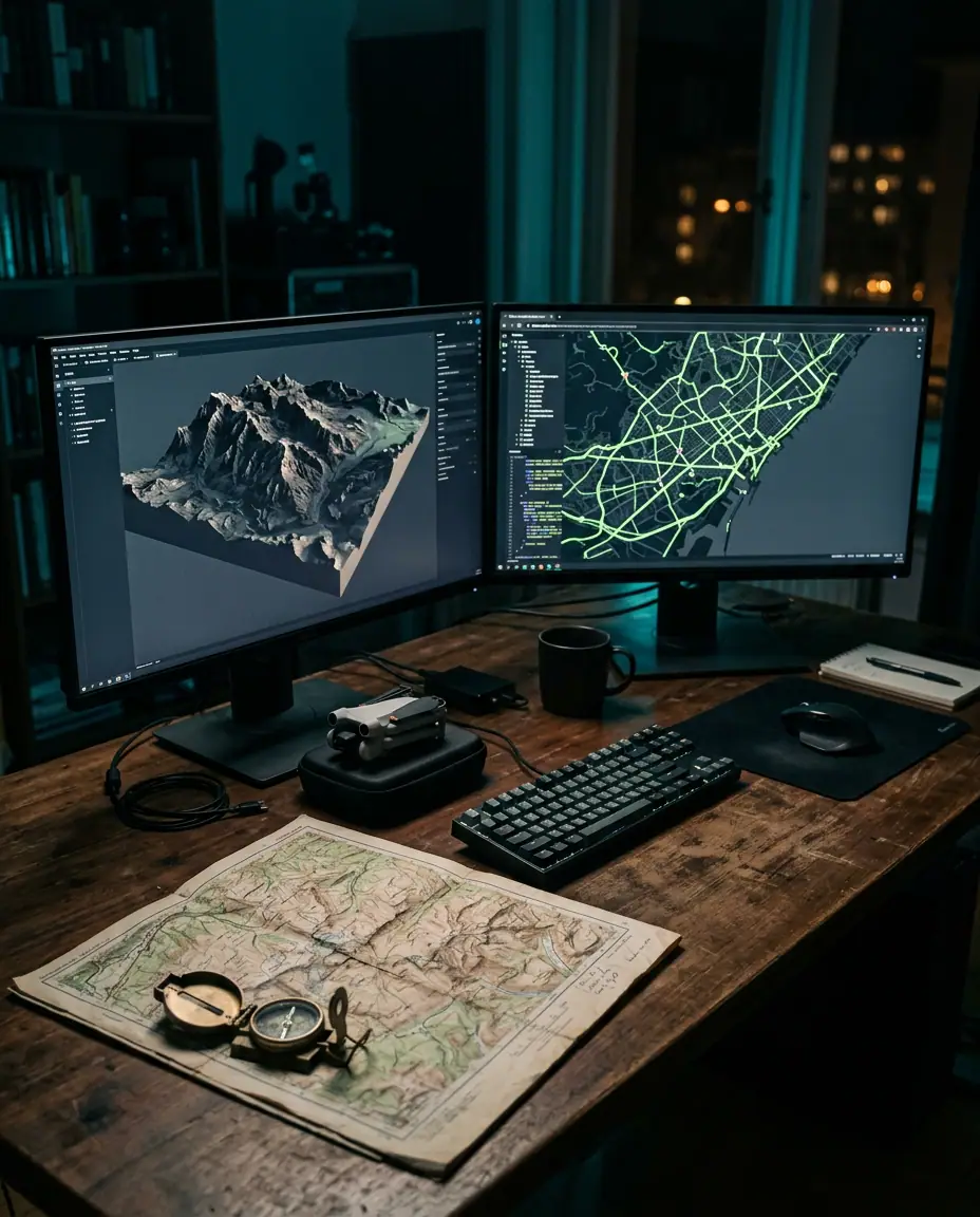
I'm a GIS software developer who has spent the last decade turning location data into software people actually enjoy using. I work across the entire geospatial stack — spatial databases and tile servers, full-stack web GIS, offline-first mobile field apps, and 2D/3D visualizations from city digital twins to globe-scale climate dashboards.
I started out as a GIS analyst making maps by hand, got frustrated with how slow and fragile the tooling was, and taught myself to build the tools instead. Since then I've shipped platforms for utilities, logistics companies, agri-tech startups, municipalities and research teams on four continents. I care about clean spatial data models, maps that stay fast with millions of features, and interfaces that make complex geography feel obvious.
- Years building GIS software
- 10+
- Projects shipped
- 60+
- Countries with live users
- 14
- English· Native / bilingual
- Dutch· Professional
- Spanish· Conversational
The route so far
Education to independent engineer.
- 2009B.Sc. Computer Science, minor in GeographyDelft University of Technology
- 2013M.Sc. Geographic Information ScienceUniversity of Twente — Faculty ITC
- '152015GIS Analyst & DeveloperRegional Government GIS Office
- '172017GIS DeveloperUrban Form Consultants
- '192019Senior Geospatial DeveloperTerrascope Analytics
- '222022Independent GIS Software Engineerisonline.tech
How I work
Four principles behind every map I ship.
- 01
Data model first
A clean spatial schema outlives any framework. I get the geometry, projections and topology right before the first pixel.
- 02
Fast at a million features
Maps should feel instant. I design tile pipelines, indexes and rendering paths for the data you will have, not just the demo.
- 03
Works in the field
Real users have bad signal, gloves on and sun on the screen. I build for those conditions from day one.
- 04
Ship early, ship real data
You see your own data on a working map in the first week, then we iterate in short, demoable steps.
Capabilities
Every layer of the GIS stack.
From the database to the device in a surveyor's hand, I cover the full lifecycle of geospatial software.
- L01
Full-Stack Web GIS
End-to-end geospatial platforms — from PostGIS schemas and tile servers to fast, interactive map frontends.
- Spatial APIs & OGC services
- Vector tile pipelines
- Auth, roles & multi-tenant data
- L02
Mobile GIS
Native and cross-platform field apps that keep working when the signal drops and sync cleanly when it returns.
- Offline maps & sync
- GNSS / high-accuracy GPS
- Field forms & inspections
- L03
2D Cartography & Mapping
Clear, performant web maps with custom styling, clustering, and thematic layers that make data legible.
- Custom basemap styles
- Choropleths & heatmaps
- Large dataset rendering
- L04
3D Geospatial & Digital Twins
Globe-scale 3D scenes, terrain, point clouds and city models streamed efficiently to the browser.
- 3D Tiles & terrain
- LiDAR / point clouds
- BIM & city model integration
- L05
Spatial Analysis & Data Engineering
Geoprocessing workflows and ETL that turn raw location data into reliable, queryable insight.
- Routing & network analysis
- Geocoding & spatial joins
- Automated ETL pipelines
- L06
Remote Sensing & Imagery
Satellite and drone imagery processing, from cloud-optimized rasters to change detection and indices.
- COG & STAC catalogs
- NDVI & change detection
- Drone orthomosaics
Toolbox
Open-source first, enterprise ready.
I pick tools for the problem — open-source geospatial stacks, Esri ecosystems, or a mix of both.
Mapping & Visualization
- MapLibre GL
- Mapbox
- Leaflet
- OpenLayers
- CesiumJS
- deck.gl
- Three.js
- ArcGIS JS API
Backend & Spatial Data
- PostGIS
- GeoServer
- Martin / Tegola
- Node.js
- Python / FastAPI
- Django GeoDjango
- .NET
- Elasticsearch Geo
Mobile
- React Native
- Flutter
- Swift / iOS
- Kotlin / Android
- ArcGIS Runtime
- Mapbox Mobile SDK
Analysis & Processing
- GDAL / OGR
- QGIS
- ArcGIS Pro
- GeoPandas
- Shapely
- Rasterio
- PDAL
- Turf.js
Standards & Formats
- WMS / WFS / WMTS
- GeoJSON
- Vector Tiles
- 3D Tiles
- COG
- STAC
- GeoPackage
- Shapefile
Cloud & DevOps
- AWS
- Azure
- GCP
- Docker
- Kubernetes
- Vercel
- CI/CD
Off the clock
Still mapping, just for fun.
- Trail runningand plotting every route in QGIS afterwards
- Open sourcecontributor to MapLibre and PostGIS tooling
- Drone mappingweekend orthomosaics of the coastline
- Old atlasesa small collection of 19th-century maps
Open to new projects