AnthonyGIS Developer

Available for new GIS projects

I build software that understands where.

I'm Anthony, a GIS software developer. I design and ship full-stack web GIS, mobile field apps, 2D and 3D geographic visualization, and the spatial data pipelines behind them.

Full-stack GIS platforms
Web
Offline-first field apps
Mobile
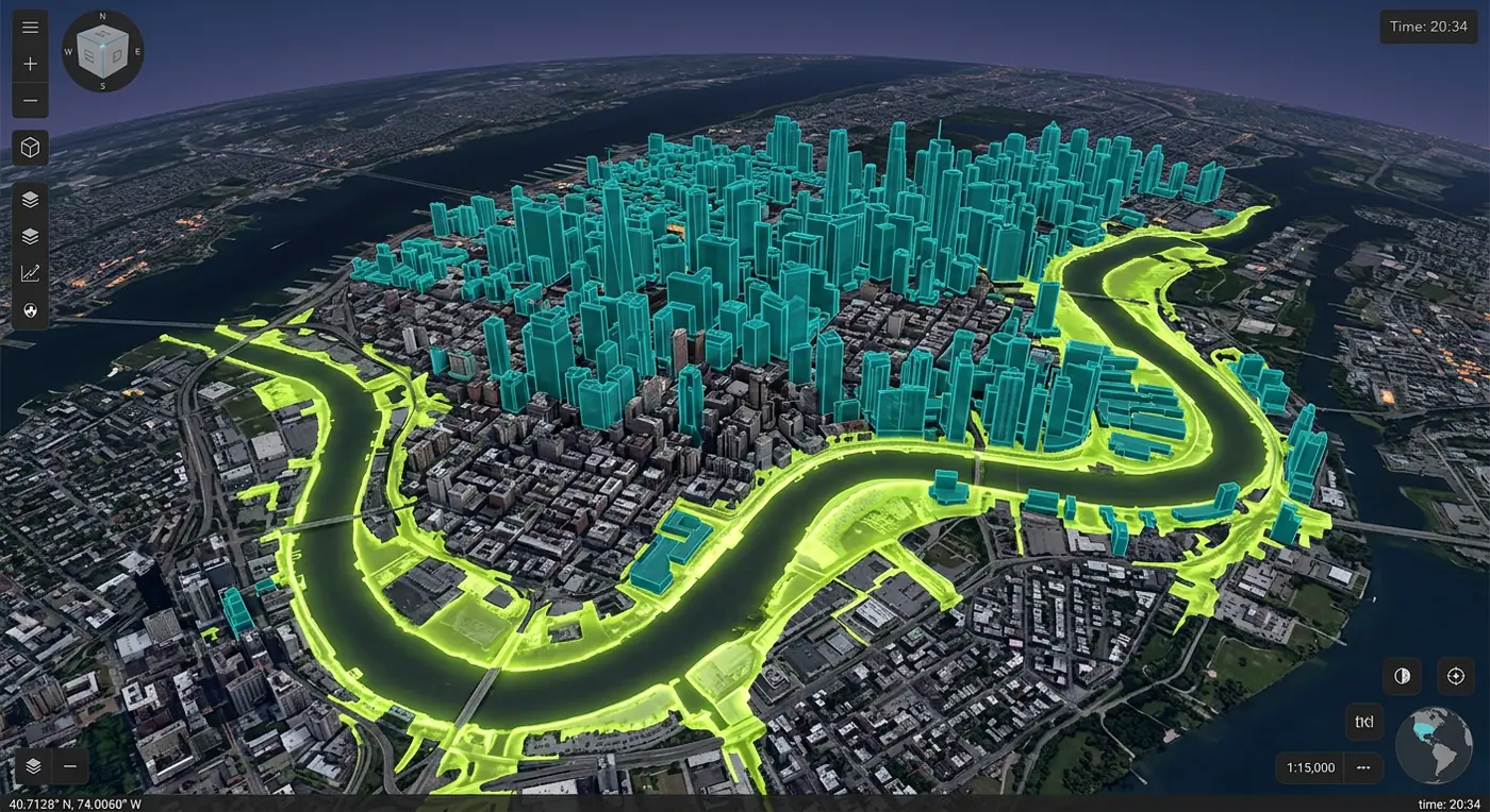
Maps, globes & twins
2D / 3D
Spatial analysis & ETL
Data

Selected work

Live products, not just mockups.

A few recent favorites. Every project is in production — open the case study, then try the live app.

Explore all 10 projects

+6 more across web, mobile and 3D

Journey

A decade of mapping the world in code.

From a government GIS office to running my own studio. Scroll through the roles that shaped how I build geospatial software, and the education behind it.

Years building GIS
10+
Products shipped
60+
Countries served
14
01 — Experience

Where I've built

  1. 2022 — PresentFreelanceNow

    Independent GIS Software Engineer

    isonline.tech · Own studio · Remote · Worldwide

    I design and build geospatial products end to end for clients in logistics, climate, utilities, agriculture and the public sector, from the first data audit through to production support.

    Products shipped
    25+
    Countries
    14
    Client rating
    4.9/5
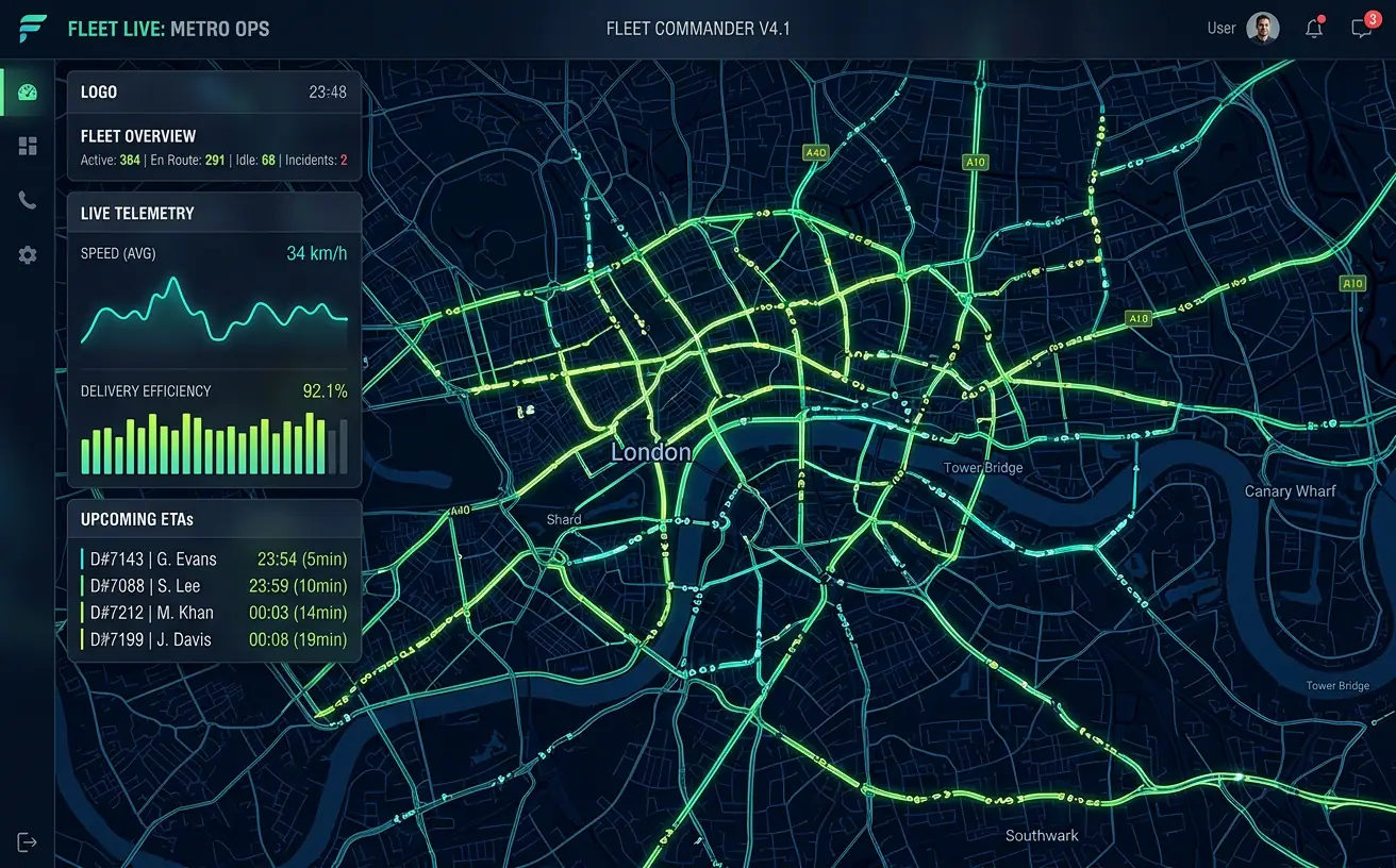
    • Architected a real-time fleet platform ingesting 12M+ GPS events a day with sub-second map updates
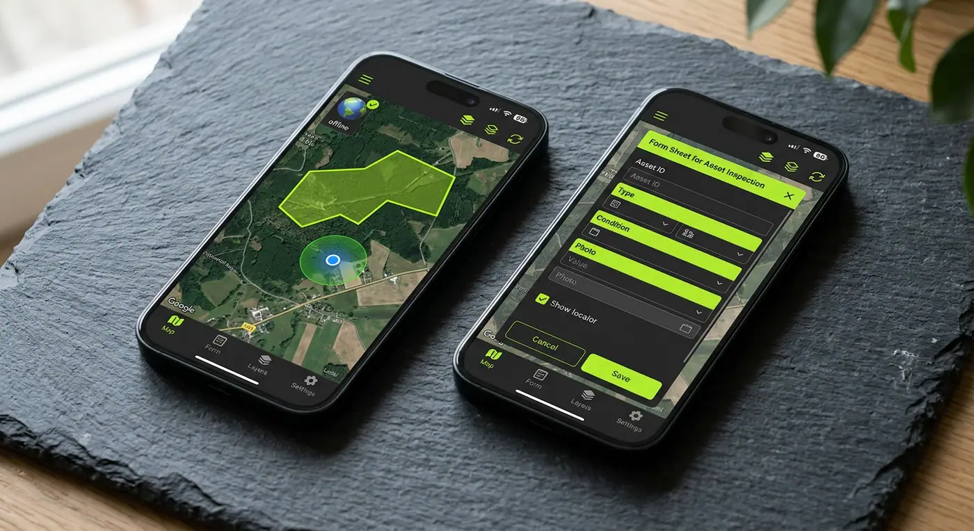
    • Built offline-first field inspection apps used by 2,000+ utility crews across three countries
    • MapLibre
    • CesiumJS
    • PostGIS
    • React Native
    • Next.js
    • FastAPI
    • AWS
  2. 2019 — 2022Full-time

    Senior Geospatial Developer

    Terrascope Analytics · Location-intelligence SaaS · Amsterdam · Hybrid

    Senior engineer on a location-intelligence and remote-sensing SaaS platform used by insurers, retailers and agri-businesses.

    Faster map loads
    70%
    Imagery / month
    3TB
    Engineers mentored
    5
    • Re-architected the vector tile pipeline (PostGIS → Martin → CDN), cutting map load times by 70%
    • Built the satellite imagery ingestion service around COG and STAC, processing 3TB a month
    • PostGIS
    • Python
    • Rasterio
    • deck.gl
    • Kubernetes
    • AWS
  3. 2017 — 2019Full-time

    GIS Developer

    Urban Form Consultants · Urban planning consultancy · Rotterdam · On-site

    Built web maps, 3D city models and analysis tools that helped planners and engineers make decisions on infrastructure projects.

    City models built
    12
    Less manual analysis
    80%
    Planning projects
    30+
    • Created the firm’s first browser-based 3D city viewer for public consultations
    • Automated site-suitability analysis that used to take analysts days, now done in minutes
    • CesiumJS
    • ArcGIS
    • QGIS
    • Python
    • JavaScript
  4. 2015 — 2017Full-time

    GIS Analyst & Developer

    Regional Government GIS Office · Public sector · Utrecht · On-site

    Maintained enterprise GIS data and built internal mapping applications for a dozen government departments.

    Hours saved / week
    20
    Datasets migrated
    150+
    Departments served
    12
    • Migrated 150+ legacy datasets into a single enterprise geodatabase with versioning
    • Built the department’s first public web map portal, now with 50k visits a month
    • ArcGIS Server
    • Python
    • SQL Server
    • Cartography
02 — Education

Where it started

2013 — 2015Enschede, NL

M.Sc.

Geographic Information Science

University of Twente — Faculty ITC

Cum laudeGPA 8.6 / 10
Thesis
"Real-time spatial indexing for streaming location data"

Designed a hybrid geohash and R-tree index that kept nearest-neighbour queries under 5ms on a stream of 50k positions per second. Parts of it ended up in a production fleet system.

  • Geodesy
  • Spatial Databases
  • Remote Sensing
  • Cartography
  • Spatial Statistics
  • Geo-Visualization
2009 — 2013Delft, NL

B.Sc.

Computer Science, minor in Geography

Delft University of Technology

Dean’s list (×3)GPA 8.1 / 10
Thesis
"GPU-accelerated terrain rendering in WebGL"

Built a level-of-detail terrain renderer that streamed elevation tiles into the browser, an early taste of what became my 3D GIS work.

  • Algorithms
  • Computer Graphics
  • Distributed Systems
  • Databases
  • Physical Geography

Certifications, talks, skills and the full role history are on the resume.

Open to new projects

Have a map-shaped problem? Let’s build it.