3D & Digital Twin20241.3521° N, 103.8198° E
City Digital Twin & Flood Simulation
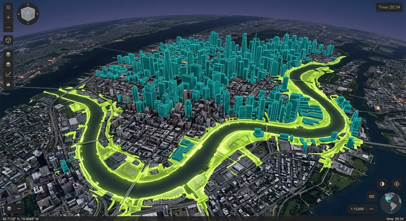
A browser-based 3D digital twin combining photogrammetry, building models and terrain to visualize flood scenarios.
- Role
- 3D Geospatial Engineer
- Client
- City planning department
- Timeline
- 8 months
- Platform
- Web application
- 180kbuildings modeled
- 6flood scenarios
- 90%smaller download size
Overview
The brief
Planners needed to show residents and councils what a 1-in-100-year flood would really look like on their street. I built a 3D digital twin that runs flood scenarios in the browser.
Challenge
What made it hard
Gigabytes of photogrammetry meshes, BIM models and LiDAR terrain had to load on ordinary laptops in council chambers.
Solution
How I built it
I tiled everything into OGC 3D Tiles with level-of-detail, streamed terrain as quantized mesh, and rendered water depth from hydraulic model outputs with a custom shader layered over the city in CesiumJS.
Key features
- Streaming photogrammetry and building models
- Animated flood depth from hydraulic simulations
- Building-level exposure and impact reports
- Scenario comparison with a split-screen slider
- Shadow and sunlight analysis for new developments
Tech stack
- CesiumJS
- 3D Tiles
- deck.gl
- Python
See it running
Open the live app in your browser.