Mobile GIS202551.5072° N, 0.1276° W
Offline Field Inspection App
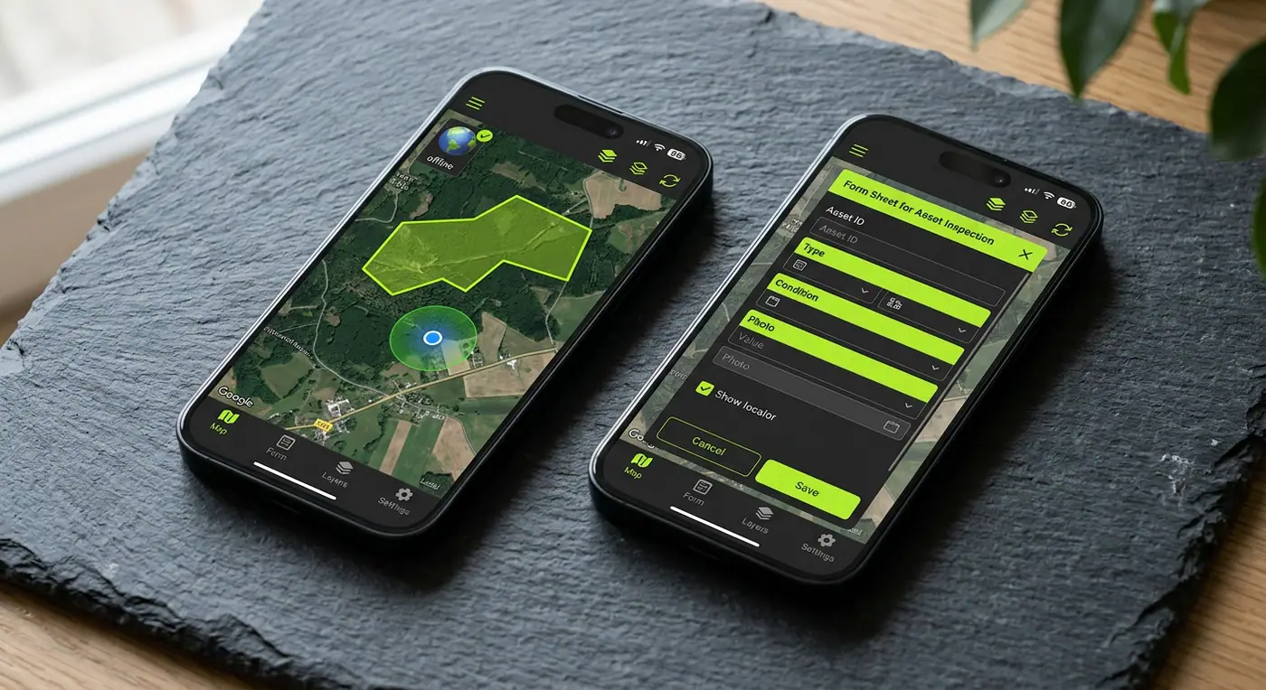
A cross-platform field app with offline basemaps, polygon capture, GNSS integration and conflict-aware background sync.
- Role
- Mobile GIS Lead
- Client
- Utility infrastructure company
- Timeline
- 6 months
- Platform
- iOS & Android
- 1400+field users
- 72%faster inspection cycle
- 4.8★app store rating
Overview
The brief
Inspection crews spend days in areas with no signal. They needed an app that captures geometry, photos and forms offline and syncs reliably — without overwriting a colleague’s edits.
Challenge
What made it hard
Paper forms and a desktop-only workflow meant weeks of delay between inspection and repair, plus frequent data loss and duplicated assets.
Solution
How I built it
I built a React Native app on a GeoPackage/SQLite store with offline vector basemaps, Bluetooth GNSS receiver support for centimeter accuracy, and a sync engine that tracks per-field revisions to merge changes instead of clobbering them.
Key features
- Fully offline vector basemaps and asset layers
- Point, line and polygon capture with snapping
- External GNSS receivers for centimeter accuracy
- Photo, signature and dynamic form capture
- Conflict-aware background sync
Tech stack
- React Native
- SQLite / GeoPackage
- MapLibre Native
- GNSS
See it running
Install the app and try it yourself.