All projects09 / 10
Remote Sensing202236.7783° N, 119.4179° W
Crop Health Monitoring Pipeline
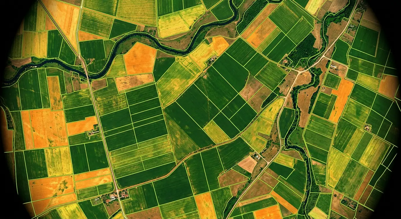
Automated satellite pipeline computing vegetation indices per field and alerting growers to crop stress.
- Role
- Remote Sensing Developer
- Client
- Agri-tech startup
- Timeline
- 6 months
- Platform
- Web application
- 2.1Mhectares monitored
- 48hearlier stress detection
- 12%less fertilizer used
Overview
The brief
Growers managing thousands of hectares could not walk every field every week. I built a pipeline and web dashboard that watches every field from space and flags problems early.
Challenge
What made it hard
New Sentinel-2 scenes arrive every few days, often cloudy, across tens of thousands of field boundaries.
Solution
How I built it
A STAC-driven pipeline fetches new scenes, masks clouds, computes NDVI/NDRE with Rasterio and stores per-field statistics. A FastAPI backend serves COG tiles and time-series to the dashboard and triggers alerts on anomalies.
Key features
- Automatic ingestion of new satellite scenes
- Cloud masking and per-field NDVI/NDRE statistics
- Anomaly detection with grower alerts
- Time-series charts per field and season
- Variable-rate prescription map exports
Tech stack
- GDAL
- Rasterio
- STAC
- FastAPI
See it running
Open the live app in your browser.