Real-Time202634.0522° N, 118.2437° W
Real-Time Fleet & Logistics Command Center
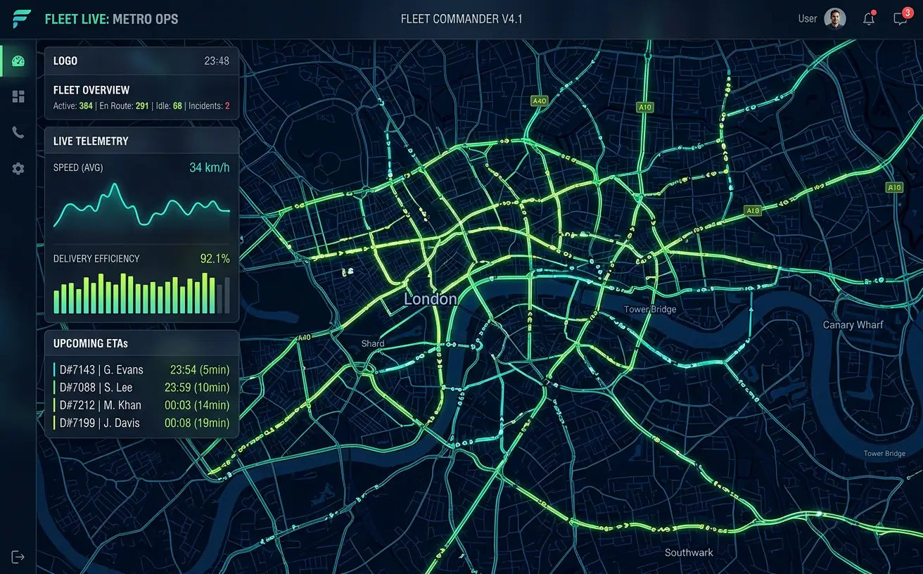
A live operations map streaming 12,000+ vehicle positions with route optimization, geofence alerts and trip playback.
- Role
- Lead GIS Engineer
- Client
- Logistics & delivery operator
- Timeline
- 7 months
- Platform
- Web application
- 12k+live vehicles tracked
- 60fpsmap rendering
- 23%fewer late deliveries
Overview
The brief
Dispatchers needed one screen to see every vehicle, every route and every exception across three countries. I designed and built a real-time command center that streams GPS telemetry into a WebGL map, predicts ETAs and surfaces problems before customers notice them.
Challenge
What made it hard
Positions arrived at 1–5 second intervals from 12k vehicles. The previous system polled a REST API and rendered DOM markers, freezing the browser above ~800 vehicles and lagging minutes behind reality.
Solution
How I built it
I moved ingestion to Kafka with a PostGIS-backed stream processor, pushed deltas over WebSockets, and rendered with deck.gl binary attributes on a MapLibre basemap. Geofences are evaluated server-side with spatial indexes, and OSRM powers routing and ETA prediction.
Key features
- Sub-second live vehicle positions on a GPU-rendered map
- Polygon geofences with entry/exit and dwell-time alerts
- Route optimization and ETA prediction with OSRM
- Historical trip playback with a time slider
- Role-based views for dispatchers, managers and drivers
Tech stack
- deck.gl
- MapLibre GL
- Kafka
- PostGIS
- OSRM
- WebSockets
See it running
Open the live app in your browser.