All projects07 / 10
3D & Digital Twin202347.6062° N, 122.3321° W
LiDAR Forest Inventory Viewer
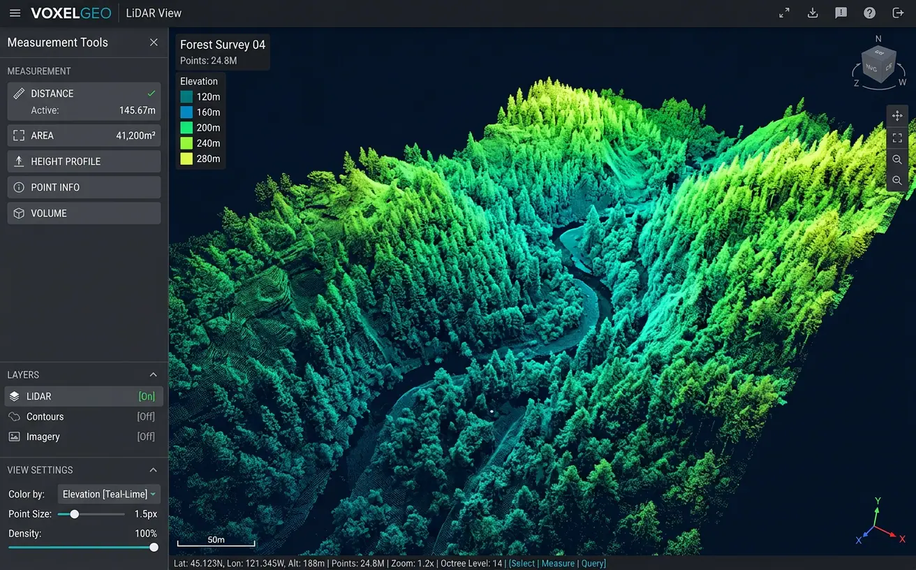
Stream billions of LiDAR points in the browser with tree detection, canopy height and measurement tools.
- Role
- Point Cloud & 3D Developer
- Client
- Forestry management firm
- Timeline
- 4 months
- Platform
- Web application
- 4.5Bpoints streamed
- 1.2Mtrees detected
- 95%detection accuracy
Overview
The brief
Foresters were shipping hard drives of LiDAR between offices. I built a web viewer that streams entire survey campaigns and automatically detects individual trees.
Challenge
What made it hard
Survey campaigns contained billions of points — far beyond what a browser can load at once.
Solution
How I built it
Pipelines in PDAL convert raw LAS into COPC with an octree, the viewer streams only the visible level of detail, and a Python service derives canopy height models and tree segmentation.
Key features
- Streaming of billions of points with level-of-detail
- Automatic individual tree detection
- Canopy height and biomass estimates
- Distance, height and volume measurements
- Elevation, intensity and classification coloring
Tech stack
- Potree
- COPC
- PDAL
- Three.js
- Python
See it running
Open the live app in your browser.